
This assignment helps local governments in the Nias Islands identify disaster risks affecting their development plans.
The work includes mapping hazards, vulnerability and capacity across economic, environmental, physical and social dimensions. Activities combine satellite imagery and secondary data with stakeholder interviews and field surveys, followed by consultations with local disaster management agencies and disaster risk reduction stakeholders.
Description of Assignment:
The objectives of this service are: (i) to assist district governments in the Nias Islands to identify disaster risks that have the potential to affect their development agenda, and (ii) Support district governments in Nias to obtain adequate information regarding the distribution of disaster risks.
- Data & information collection and map development on economic, environmental, physical/and social infrastructure threats, vulnerabilities and capacities;
- Primary data collection includes the use of satellite imagery data and secondary data collection;
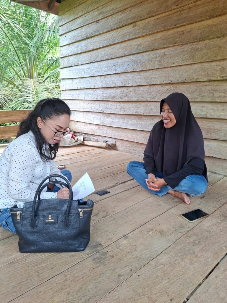
- Conducting interviews with relevant stakeholders, including government agencies (SKPD) in districts/cities and sub-districts in the Nias Islands;
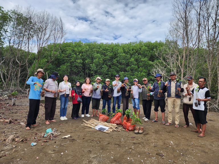
- Conduct surveys to obtain primary data related to social, economic and ecological capacity and vulnerability, in coordination with the relevant districts/cities; and
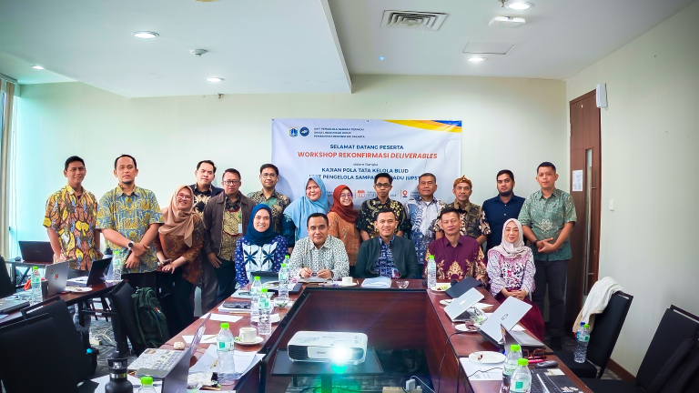
- Consultation meeting with Regional Development Board (BPBD) in Nias and PRB appointed forum